A spectacular walk along the rim of a deep canyon.
Canyon Creek
Synopsis
Hike
Trailhead
Walk past the concrete barriers and you will see the trail begin in what appears to be a small gravel pit. The beginning of the trail is very steep but the rewards justify the effort. What appears to be a trail to your right is actually an old railbed constructed to haul logs during Golden’s pioneer days and is referred to as ‘2%’. It is also on private land.
Trail
As indicated, the trail begins with a steep climb but quickly levels out once you reach the remnants of an old road. [read more]
The road serves as the trail for much of its length but nature is slowly reclaiming it and as such it now makes for a very pleasant walk. There are many opportunities to view the canyon along with three obvious lookout points. At the first there is a kiosk with a warning to cyclists and hikers (see note below).
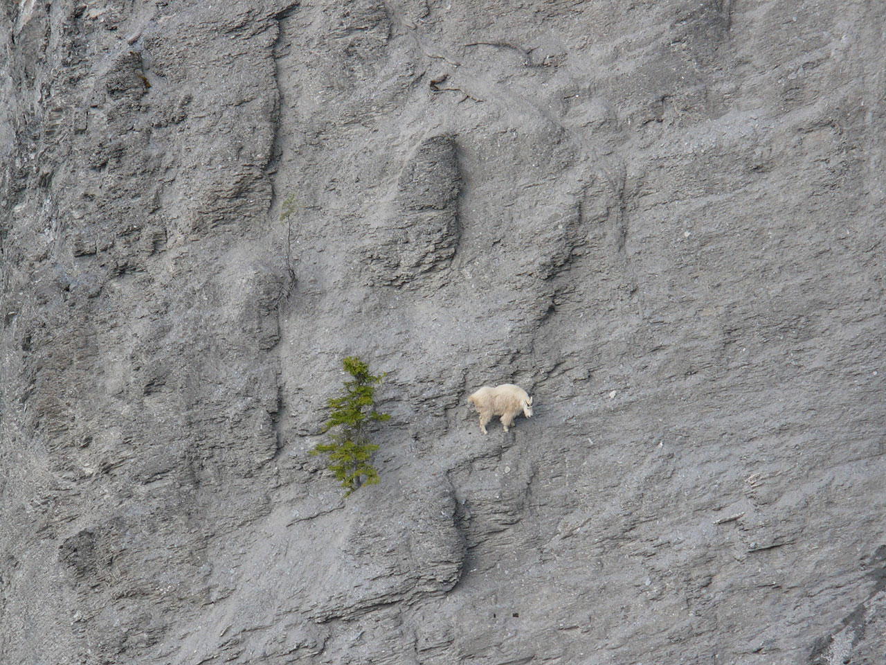
Between the first (lower) and second lookout you will pass a reroute for cyclists. The reroute is required to protect the resident mountain goat population from close and sudden encounters with cyclist.
Beyond the second lookout the trail becomes very narrow and steepens considerably, dropping down into a drainage and then climbing back out. The third (upper) lookout is just west of the transmission line.
Note
The trail is home to a resident population of mountain goats – if you have a dog please keep it on a leash. The trail is also in the Moonraker trail network and is maintained by the Golden Cycling Club and is a popular ride for mountain bikers. Fore-warned is fore-armed.
The Moonraker network is quite extensive and there are a number of side trails coming in from the north. Free trail maps are available in Golden that better explain the connections.
Trail Map
Download & Print
Access
- From Golden, take Highway 95 south to the hamlet of Nicholson.
- Turn off at Nicholson and after about 1km turn right onto Canyon Creek Road
- Cross the bridge over the Columbia River.
- 100 m past the bridge is a Y-junction where stay left and remain on Canyon Creek Road
- Drive to the end of the asphalt (about 1.5km) and turn right into a small dirt parking area.
- Park here.
Photos