Trailhead
The trail begins at the wooden bridge. There is a map kiosk immediately past the bridge and an outhouse is available just up the trail on your right.
NOTE: Grizzley bears frequent the Gorman Lake area. There is no bear-proof food storage or bear-hang options for campers or day users.
Trail
Cross the footbridge and continue up an old skid road for 1 km through the final cutblock. As you leave the cutblock there are a series of boardwalks that will take you through a boggy section.
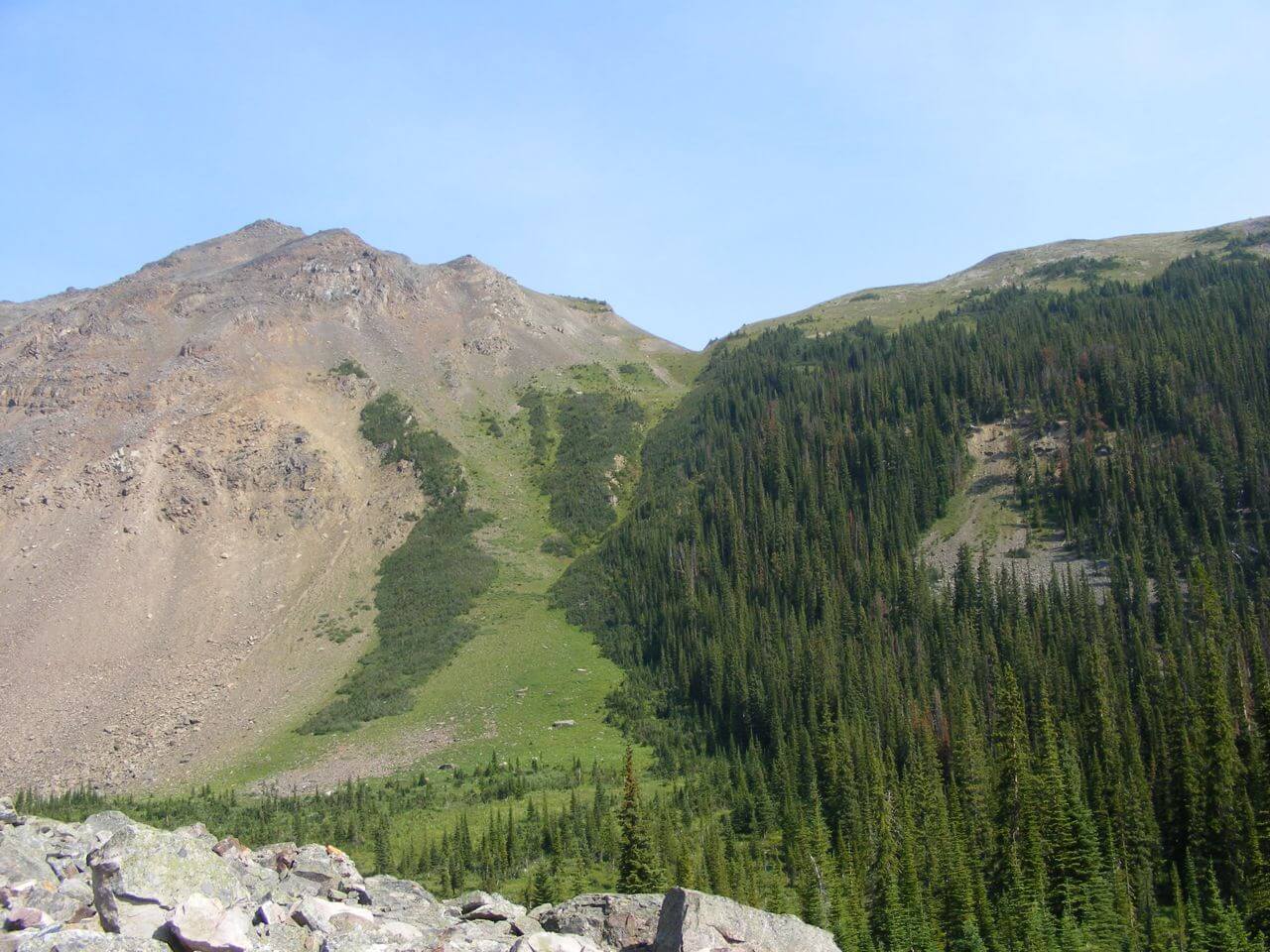
Follow the obvious trail until it emerges from the forest and reaches a boulder field. There is a well constructed trail that climbs and crosses the rocks. Look for the worn path and follow the cairns.
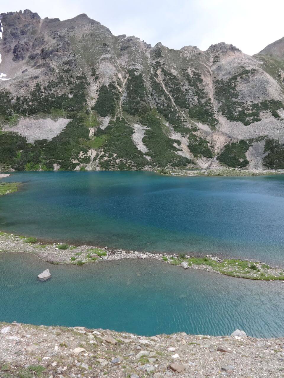
Follow the trail as it climbs and crosses the rock slope. You will be focusing on the trail, but it is worthwhile to stop occasionally and check out the incredible rock formations on the ridge to the south. Once clear of the boulder field, follow the trail for the final kilometre to the lake. There are picnic tables and tent pads at the lake and a Green Throne (just east of the tent pads) was placed in 2014. It replaces the old outhouse demolished by an avalanche several years ago. [read more]
Options
Around the lake: There are trails on both sides of the lake to reach the far end. The trail on the south side was rebuilt a few years ago and is now easier, although it has more exposure to falling rock. It is about 800 metres to the far end.
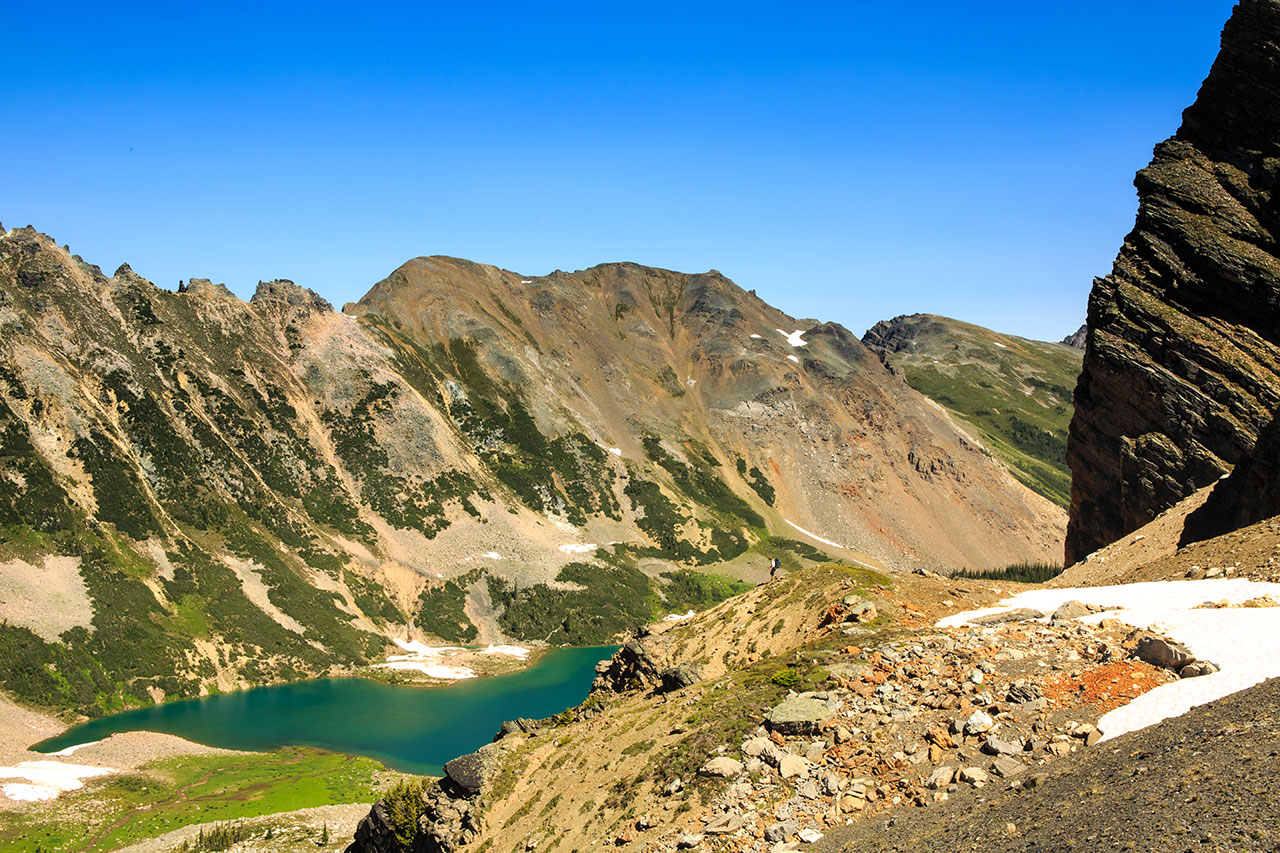
Gorman-Holt col and Holt Lakes: From the back of the lake, head up the creek towards the back of the bowl. Before you get reach the last large rock cliff sticking out of the talus, turn left and grind your way up the steep talus slope. This is a difficult hike. At the top, you will find the slope lessens, and you can work your way to the col.
Gorman-Lang col: From the back of the lake, head up the creek until you are behind the rocky ridge on the right (which has some fantastic rock columns on it.) When the slope turns to grass and flowers, you can grind your way up, skirting the small trees about two thirds of the way up, and then moving left or right and hiking over the shattered rock to the col. It is a great deal of work to get to the col.