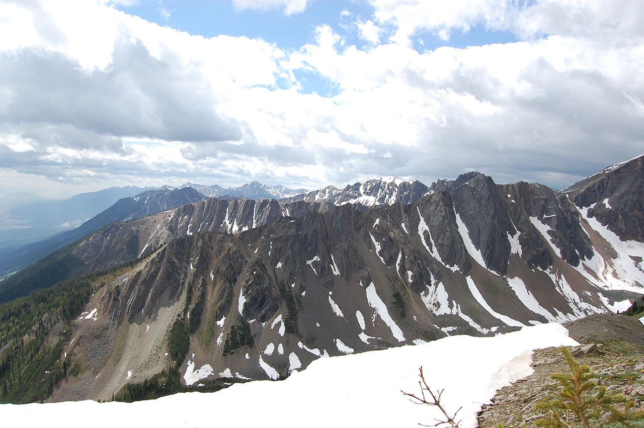
A short but steep hike on a well-built trail to a panoramic overview of the Columbia and Blaeberry valleys.
Holt Repeater
Synopsis
Hike
Trail
From the parking spot continue along the road which will curve around to your left and lead down to cross Holt Creek (it is about 400m from the parking area to the creek crossing). The road crosses Holt Creek (no bridge, and the water can be thigh deep), heads back up the valley for about 500m, and then switchbacks to the left for another 500m at which point you switchback right onto a decommissioned road.
Head up the decommissioned road, following the (mostly) obvious footpath. After 500 metres, you come to a junction. For the Repeater, turn left. (The right fork will take you to the back of the drainage and Holt Lakes.) [read more]
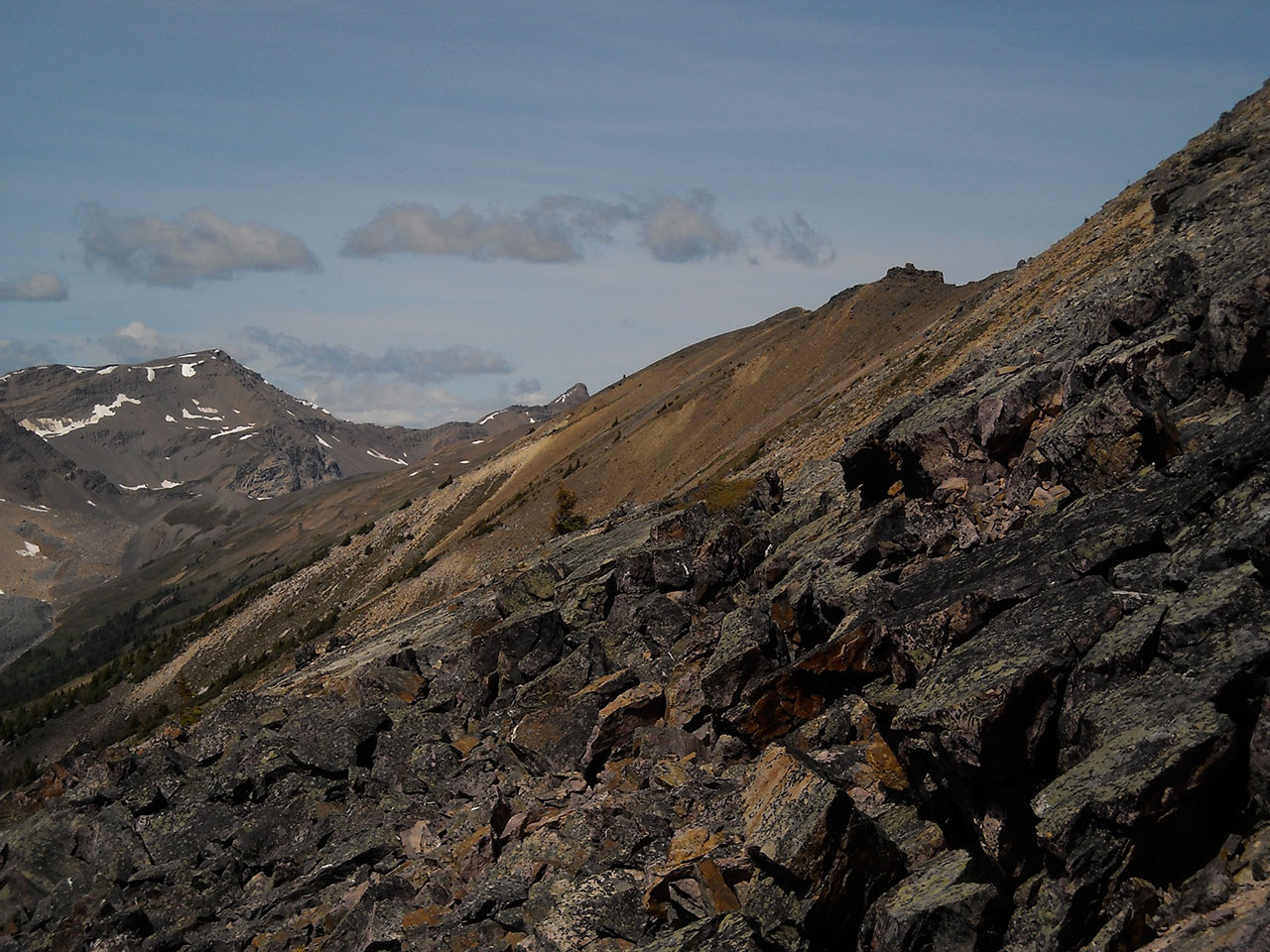
In another 500 metres, the road rounds a corner to the right and heads further back into the south fork of the drainage. In another 700 metres, you will reach a creek crossing. If you look up, you can see the repeater directly above you.
Cross the creek and climb the rock slope. Just before you get to the bushes, you will find a well defined trail. This trail climbs up through the slide area, and then turns left into the forest. There are several branches, and if you lose the trail and end up in the flat bowl at the top of the slide area, you need to turn left and head into the forest for 50 metres or so. You will find the trail easily in the forest. (If you don’t turn left into the forest, you will find yourself at the bottom of a hideously steep headwall.)
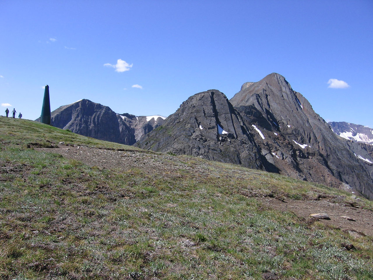
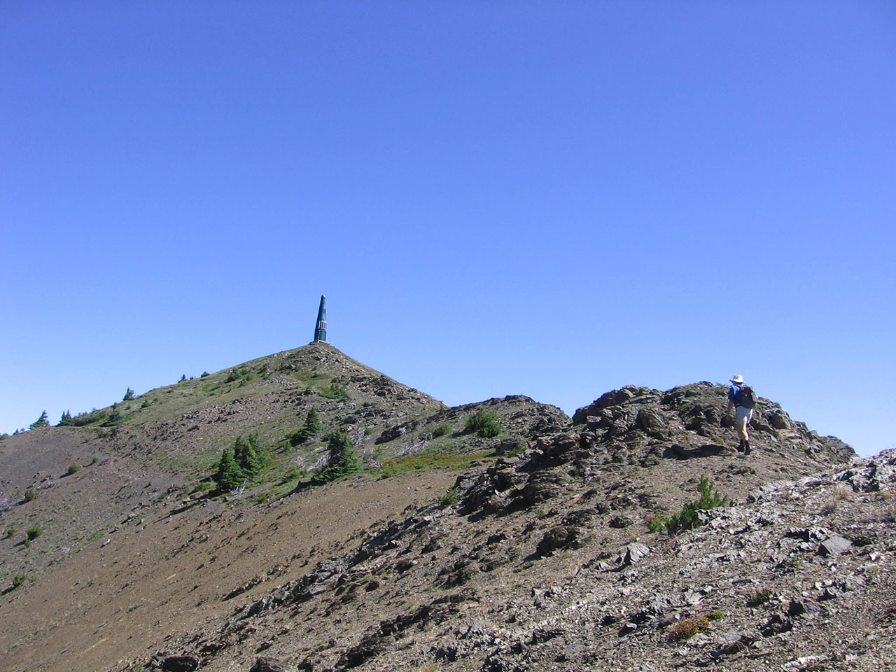
The trail through the forest is steep but well constructed. When it braids, it doesn’t matter which branch you take, as they all come back together. When you emerge from the trees, you will cross the steep slope to the ridge just below the repeater. Once you gain the ridge, the repeater is visible about 200 metres to the left. Before you turn left, though, look around at your surroundings so you can find the trail on the way down.
Cautions
I don’t recall any hike I have been on, ever, where there was so much bear poop on the trail. This valley is a major bear thoroughfare. Fortunately, visibility is good on the road. It is not so good in the slide path. Make lots of noise.
Trail Map
Access
From the lights in Golden, drive north on Highway 95 (10th Ave), cross the Kicking Horse River, and drive three blocks to 7th St. North. Turn left and follow the signs for the Kicking Horse Mountain Resort and the Golden Golf and Country Club (you’re eventually heading towards the Golf Club, not KH Mtn Resort). [read more]
7th St North become Kicking Horse Trail and crosses over the Columbia River on a single lane bridge. Drive 400m past the bridge and turn right on Golf Course Drive. Follow this for 2 km. Just past the first bridge turn left onto the gravel Dogtooth FSR. Set your odometer to “0” here. (If you reach the golf course parking lot, you’ve missed the turn).
For the first 1.5 km, you need to watch for golfers crossing the road in three spots. The entrances are hidden by bushes, so be careful. Once you start climbing the hill, watch for heavy machinery and trucks at the gravel operation.
3.5 km stay left at the Y. Traffic uses both roads, so pay attention and don’t miss this turn. Some new turnoffs have been added recently in the next stretch.
4.5 km go straight, not left.
5.0 km stay straight, not right.
5.2 km stay straight, not right.
5.8 km stay straight, not left. (The 6k marker is just around the corner, but your odometer is correct, and the sign is misplaced.)
6.6 km stay straight, not left.
7.3 km stay straight, not right.
7.6 km there is a three way junction. Take the middle fork. Ignore all minor side roads
9.2 km stay straight, not right.
9.7km at the 4 way intersection turn left, cross the bridge and pass through the black gate. NOTE: this gate may be locked at times by the quarry licensee, during which access is prohibited.
Continue along Holt FSR for another 4.8km at which point you will reach the Holt FSR motorized vehicle closure. There is a yellow “Road Closure” sign on a tree where the road was deactivated at the intersection of Holt Creek and Holt FSR. Hikers can park a vehicle or 2 here at the closure. There is room to turn around. The restriction is strictly enforced by the Conservation Officer past this point.
Photos