Quartz Lake

Difficulty: Moderate

Access: Moderate

Time: 2.5 hours to the lake

Distance: 5 kilometres

Change in elevation: 565 metres

Map reference: 82 N/6 Blaeberry
Bear Paw Lodge ad

Synopsis: 
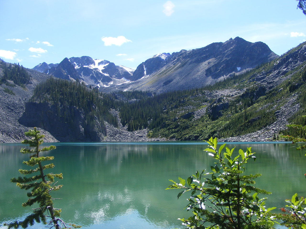
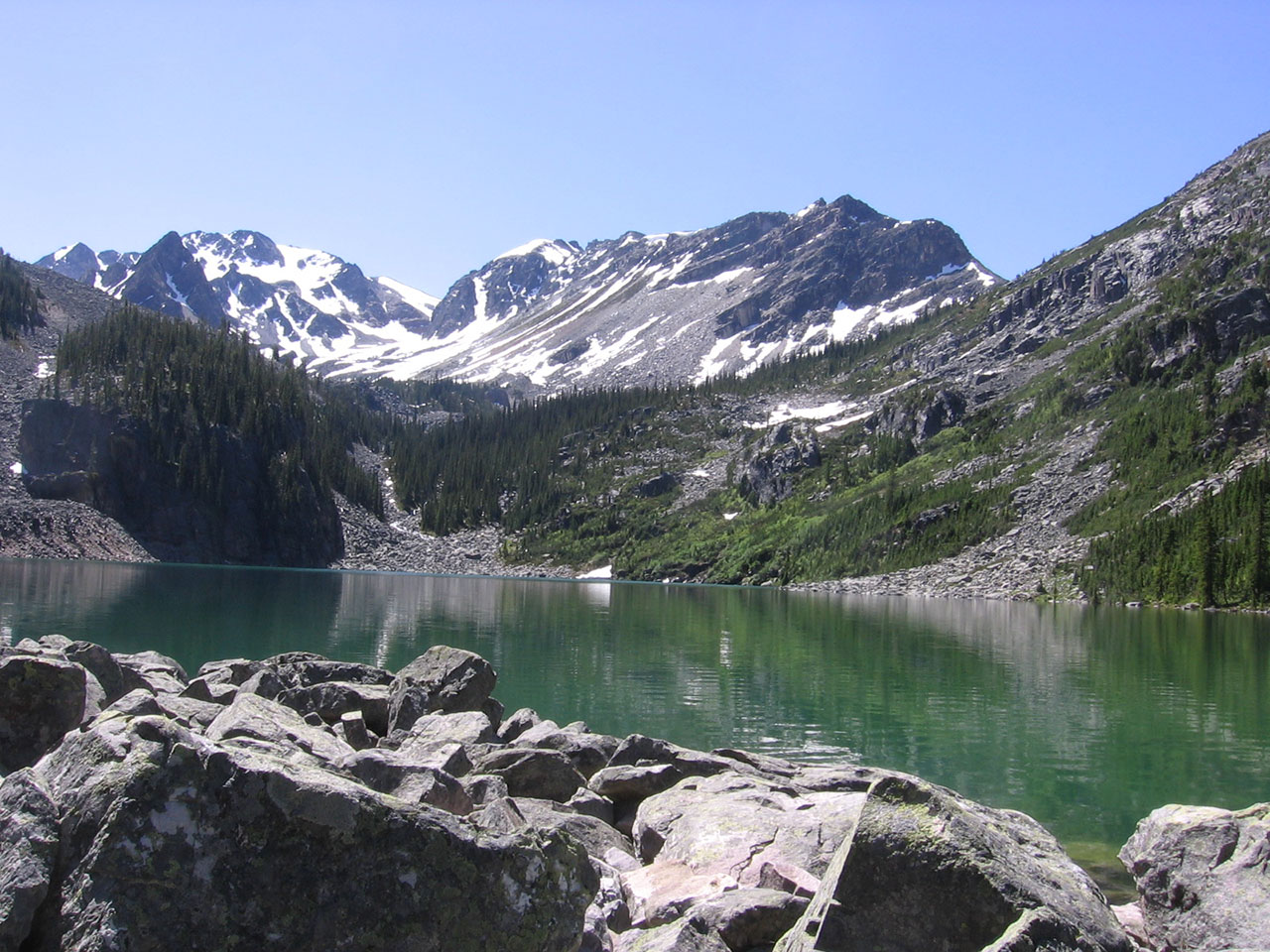
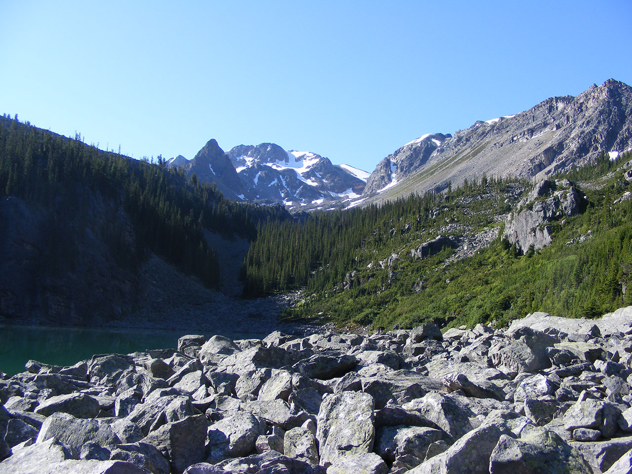
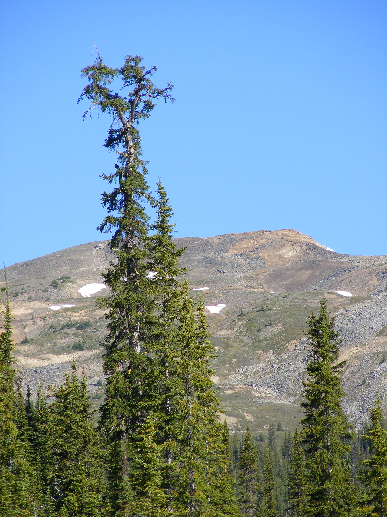
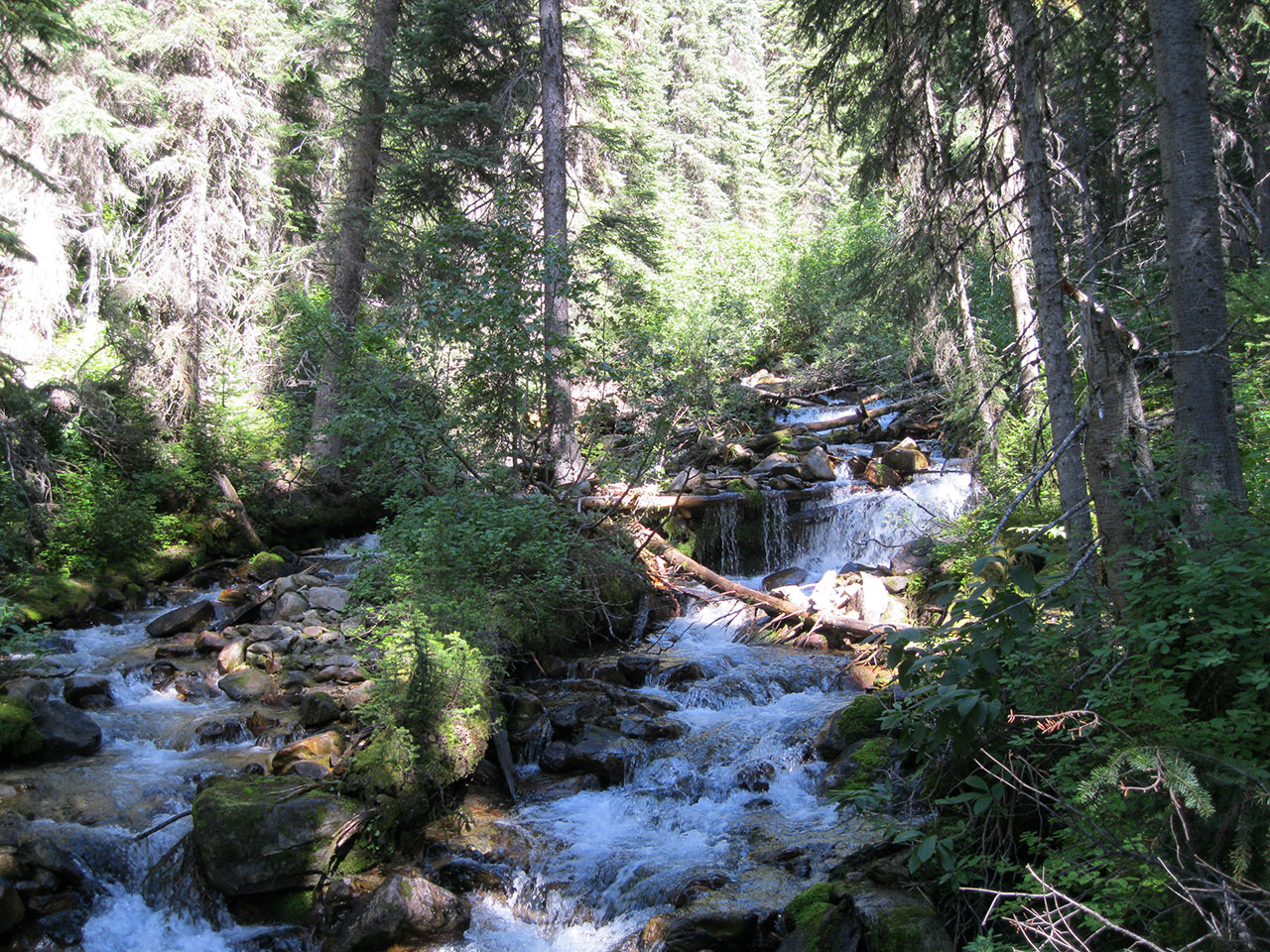
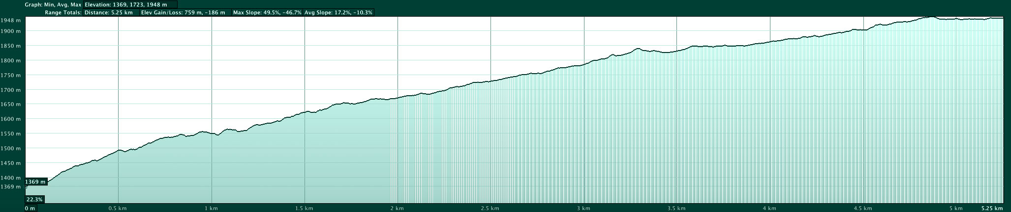
A steep start, but the reward is a lovely lake just below treeline nestled in an alpine valley.

Access: From the junction of Highway 95 and Highway 1, drive west on the Trans Canada Highway for 41.2 kilometres to the Quartz Creek turnoff. The highway is multi-laned here and there is a left turn bay. Drive up the Quartz Creek FSR. At 1.6 kilometres, stay left. At 4.3 km, the original road was lost in a landslide. There is a steep bypass on the uphill side. At 5.6 kilometres, the road crosses a creek. Cross the bridge and park in the pullout on the right.

Trailhead: From the car, walk back across the bridge and the trail begins on the east side of the road.

Trail: The trail climbs steeply up the forested slope, crosses several slide paths, and then climbs right next to the creek until you reach the lake. The top third of the trail can be very wet until late July, so wax your boots.

The trail will bring you to the north end of Quartz Lake. The lake is a popular fishing spot. The tent pads, picnic tables and food caches remain from the Forestry Recreation days. There is a (very clean) outhouse on the right hand side of the outlet creek. The log bridge has shifted a bit, making getting on the log interesting. There is also a log book of sorts kept in the box next to the outhouse. Seems there are a couple of guys from Calgary who snowmobile this way from Gorman every February.

Golden Ayurveda ad

By skirting the lake to the right (west) it is possible to continue up the valley to the upper lake by an unmarked route.

Cautions:

Did we help you out? You can help us out by dropping a loonie in the goldenhikes.ca boot at Bacchus Books and Cafe.