The Rotary Trail is a great hike early in the season, on days when you only have a brief period of time available, or when you just do not feel like anything more strenuous. Entirely inside town limits, it includes riverside walks, great views, and (unique among the hikes on this site) has a pub halfway along. What more can you ask?
Rotary Trail
Synopsis
Hike
Trail
You can start the Rotary Trail from several access points. Here we will look at the Rotary Trail in sections, going clockwise around town. [read more]
Section 1: West side of Golden
The trial in this section begins at the corner of 13th St S and 7th Ave S (look for the sign post and some boulders lined up on a grassy berm). Once you gain the berm, you turn west (right) and come to the fence at the boundary of the Canadian Pacific Rail yard in about 250 metres. Here, the trail turns to the right and proceeds for another kilometer and a half before curving to the right and crossing over Fisher Road. This section is a pleasant route across town, but otherwise does not have much to recommend it. Views are limited, and the railway tracks are quite close.
Section 2: Kicking Horse River dikes
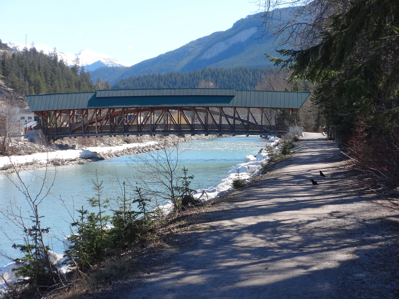
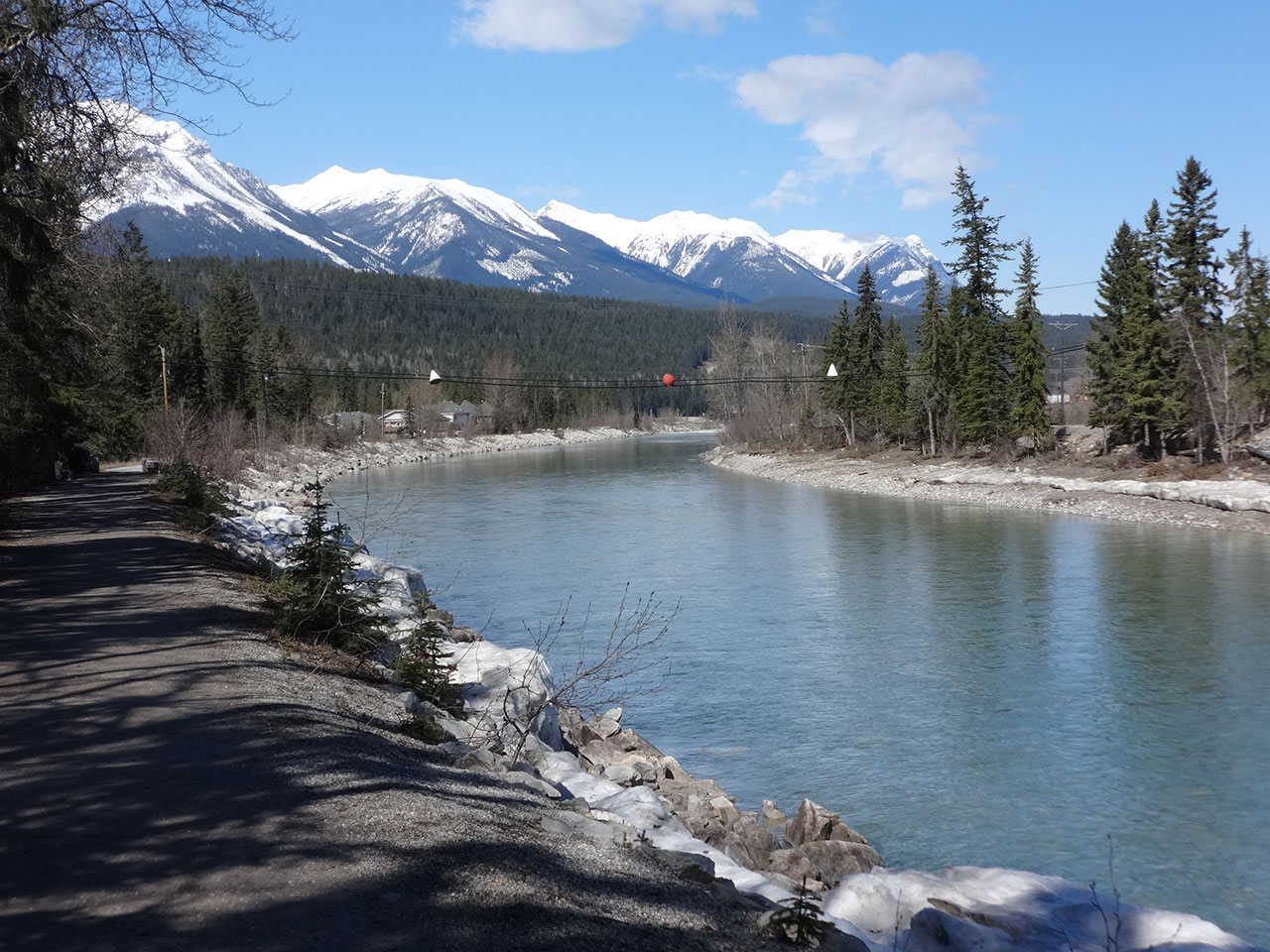
Undoubtedly the most popular section of the trail, this stretch is used by hundreds of locals every day. From Fisher Road, the trail follows the Kicking Horse River upstream. After 1.1 kilometres from the Fisher Road crossing, you reach the timberframe pedestrian bridge. The trail (dike) continues past a relief flood channel and Goulds Island on your left before reaching the crosswalk on Highway 95.
After crossing at the lights, regain the river bank and continue upstream. Continue east past the campground, until you reach the end of the dike (and the beginning of the Kicking Horse River Canyon).
Section 3: the bench
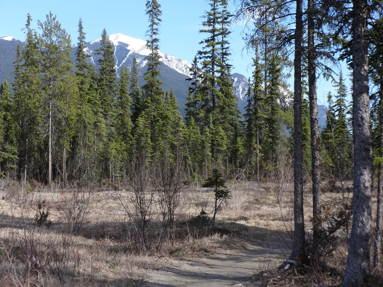
At the mouth of the canyon, the trail leaves the dike and drops slightly into the forest at the base of the cliff. The trail skirts around the back of the campground and reaches the high school playing field in 200 metres. Staying on the south side of the field (ie your left), the trail climbs slightly until just at midfield, where it splits. The right fork continues for another 60 metres and terminates at Alexander Park Elementary School. The left fork presents two options to get up the hill to the playing fields at Keith King Park: i) the low trail follows a gentle gradient for 1.5km to the top; or ii) the high trail provides quicker and steeper access to the top.
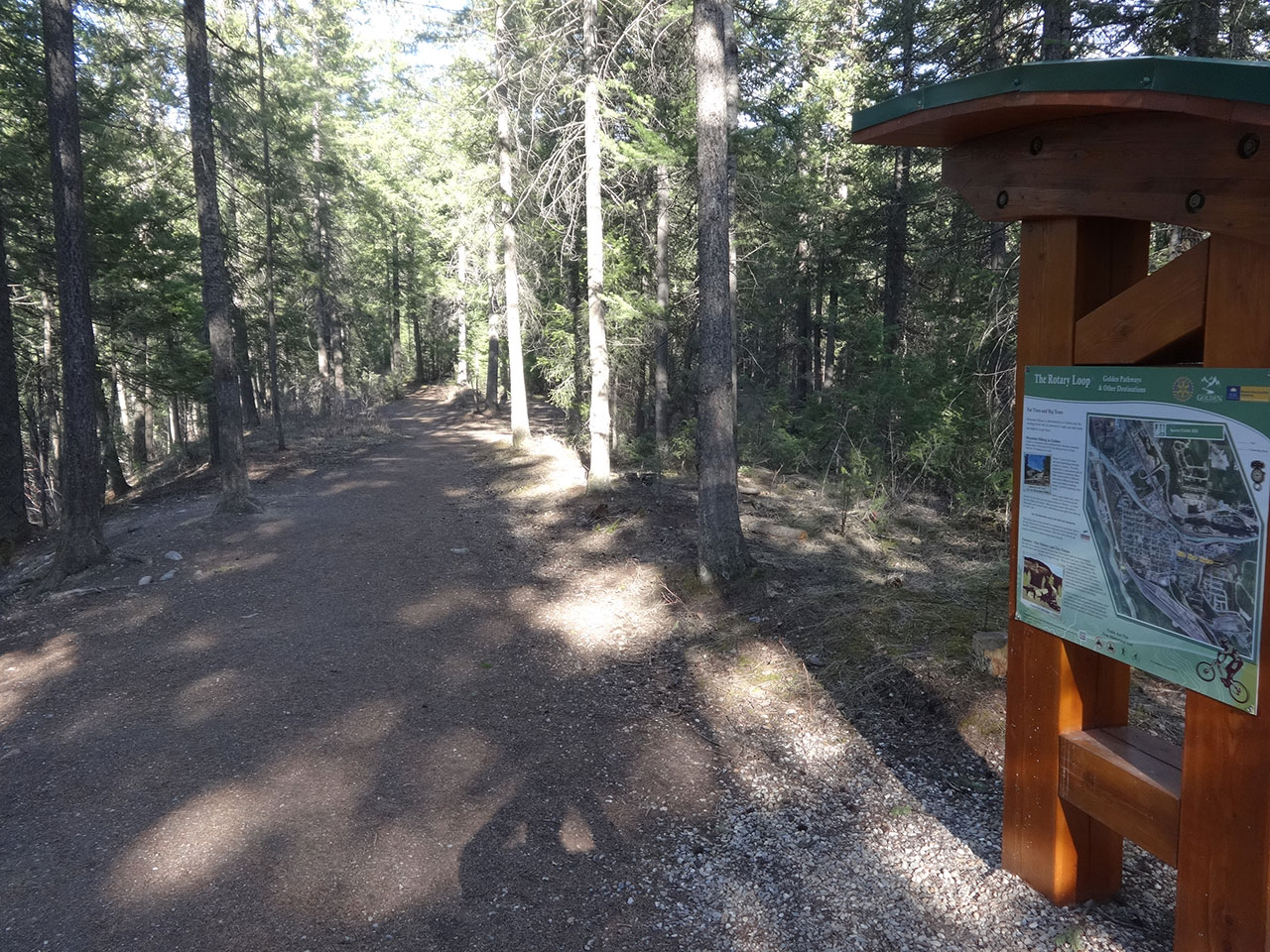
At the top turn left to continue along the main Rotary Trail. Continuing this way through the woods you will pass the turn offs to the bike trail “7 Up”. Next you will pass a connector trail to Selkirk Slacker. However, at both of these junctions just continue straight ahead until you cross over Spruce Drive. Cross the road, and the trail continues along the top of a huge bank. What you are looking at is the gravel pit left after the CPR used fill from here to build the rail yards across the highway. Be careful with young children here. It is a long way to fall.
The main trail continues to your right, gradually dropping down to the level of the lower part of town, reaching an old roadbed. Follow that roadbed for about 200m where it will branch left at 45 degrees and lead to Highway 95 (ie. the main street through town). Head across Highway 95 and up 13th St S. for 3 blocks. As you cross over 7th Ave S watch for the trail post indicating the trail. This is the start of the trail described in Section 1 above.
Recommended
If you park by town hall on the south side of the Kicking Horse River bridge, you can walk either way along the river dike and have a very pleasant outing.
Trail Map
Download & Print
Access
The trail starts at the corner of 13th Street South, 14th Street South, and 7th Avenue South. If that sounds like an unlikely intersection, you will understand when you get there.
Photos


Elevation Profile
