A long, steep hike on a well-built trail to a vast alpine meadow. Golden’s answer to the Grouse Grind.
Table Mountain
Synopsis
Hike
Trailhead
Look for a not-competely-obvious trail from the parking area that leads up into the trees. It’s not that hard to find.
Trail
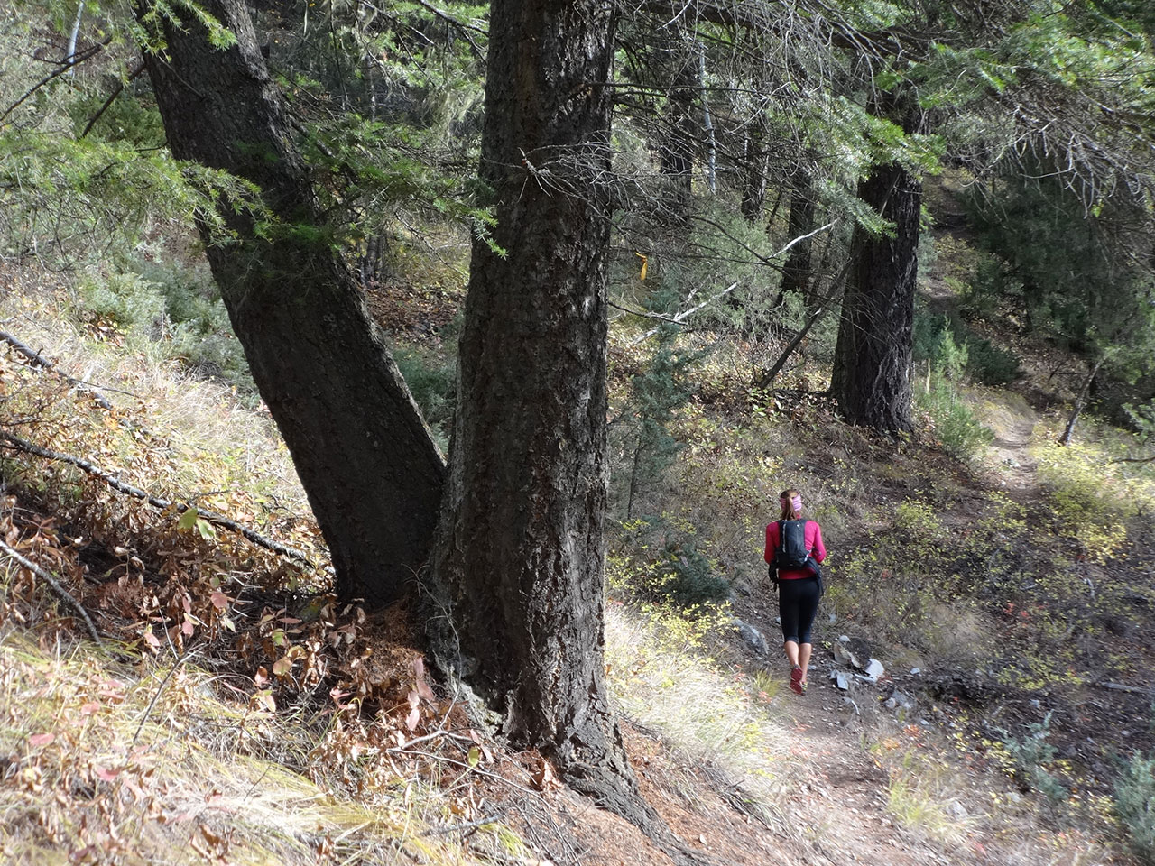
For most of its length, the trail is obvious and easy to find. There are three spots where there might be confusion, which are detailed here. There is also minor braiding in spots, but the trails rejoin quickly. [read more]
Climb up the first steep part, level off into a dead pine forest, gain a rock field and switchback up it. At the top of the rock field, you hit a bit of a road carved out of the hillside. On the right, about 30 metres further on, is a wooden platform. You want to turn left, follow the road for a short distance until it ends, and then climb the steep switchback on your right. The trail climbs and moves north, leveling off in a bit. Suddenly, the trail becomes very faint. That’s because the real trail has switchbacked to your right to move up between the cliff bands. Follow the trail as it climbs, then levels off in yet another dead pine forest.
A bit further up, the trail splits and the signs explain the choice: move along the ledges, with views, or take the shortcut. It really doesn’t matter. Other than that, there is nothing to confuse you. Just keep on grinding up the hill. There are a couple of viewpoints along the way. One viewpoint, at about 1800 metres, is also marked with a sign, and means you are about two thirds of the way there.
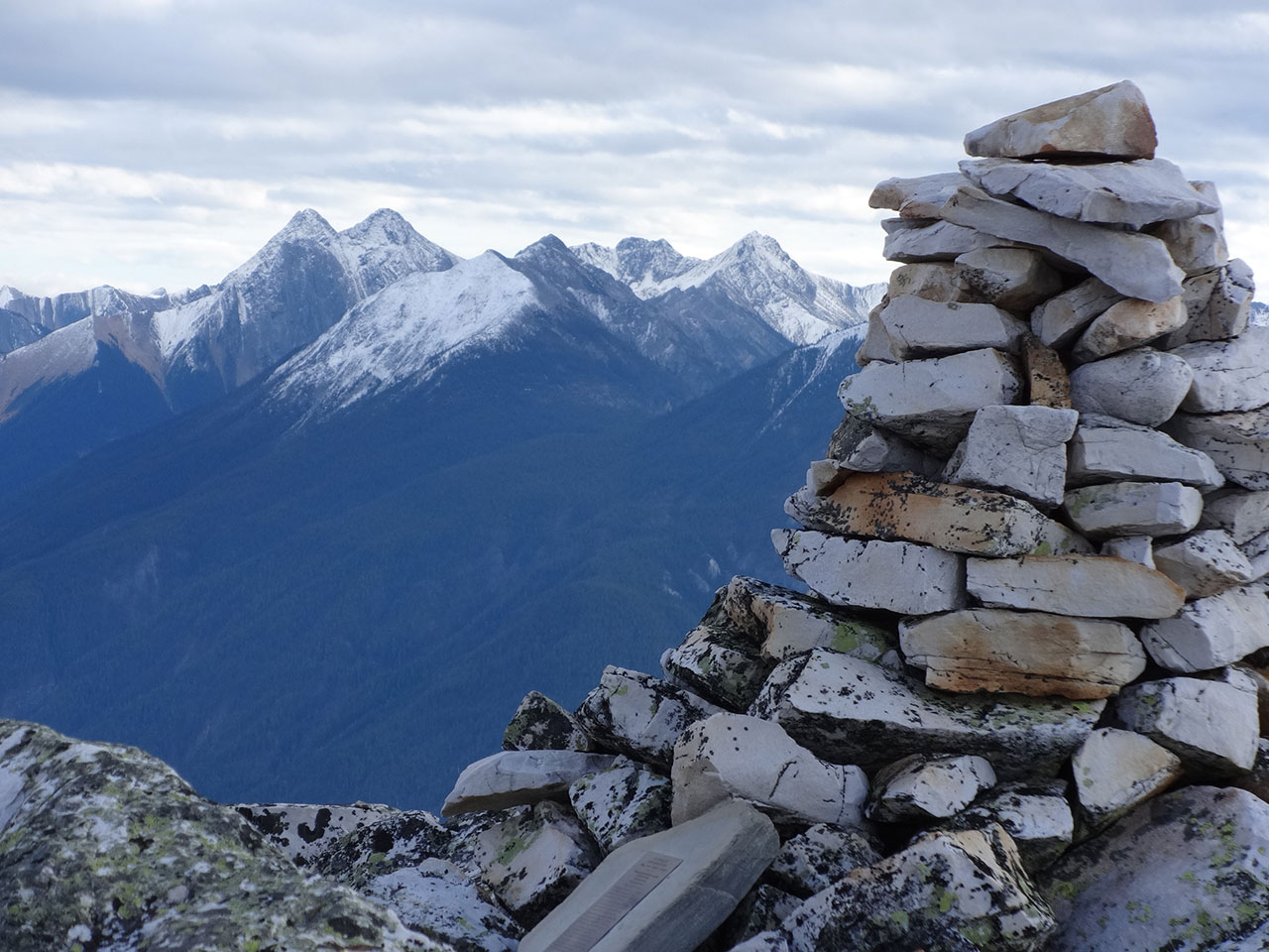
Once you clear the trees, there is a pitch over loose rock which is a bit scrambly. Above this spot, you ascend a rocky ridge (stay on the east side) and then gain the plateau. Follow the trail until you reach a cairn overlooking what seems to be a giant soccer field. This isn’t really a summit at all, but it’s a great place to drop your pack and let your legs recover.
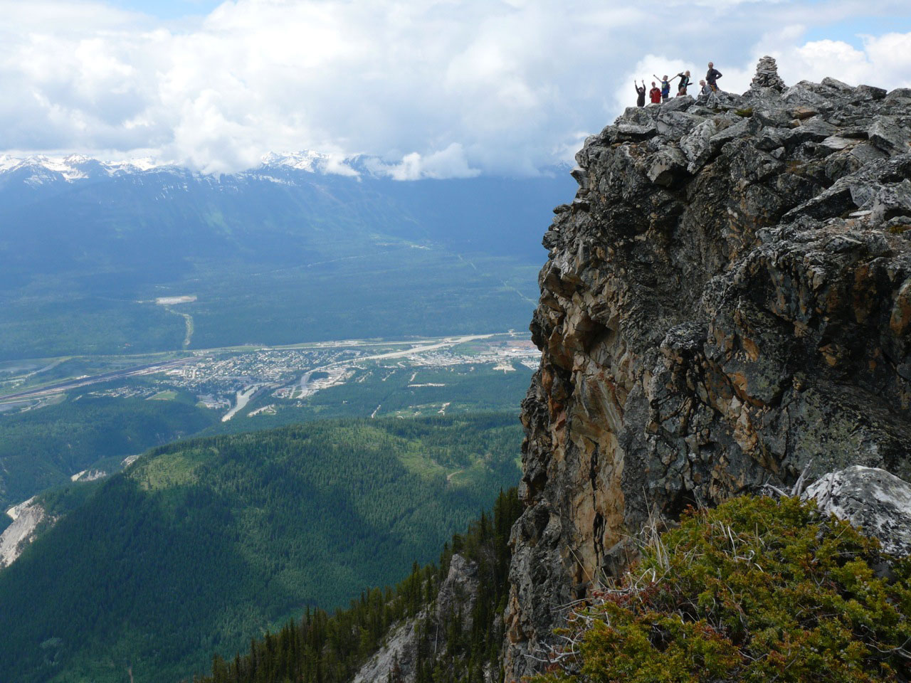
When you’re up to it, wander around. There is a minor summit about 100 metres south, marked by another cairn. Warning: the dropoff here is not sheer. It’s even worse. The edge of the cliff is an overhang. Be very careful how far you lean out.
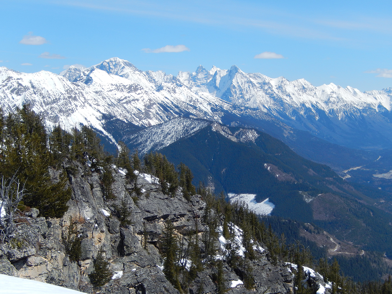
If you head east across the “soccer field,” you get a view into the next drainage. Head north, and there is another summit about a kilometre further that promises good views.
Cautions
• Carry lots of water.
• Up top, there are a few spots on the edge of big cliffs. Be careful near the edge.
NOTE: the trail was brushed and cleared of trees in 2025 by a local trail crew.
Trail Map
Download & Print
Access
Due to the twinning of the Highway 1 (Trans Canada Highway) you cannot turn into the trailhead when driving from the east. So, from the junction of Highway 95 and Highway 1, drive east on the Highway 1 for 11km and turn into the Kicking Horse Rest Area on the north side of the highway. From there you will turn around and drive back west on the Highway 1 for 5.5km. Then turn right into the turnout on the north side of Highway 1 . The trail starts from this parking area.
Photos